
Raster map georeferencing
SPECIALIST SERVICE
GIS & Map Digitization
Legacy maps are georeferenced and converted into clean, structured vector layers. Points, lines, polygons and contours are separated logically so the completed dataset can move into practical GIS workflows.
Discuss your project→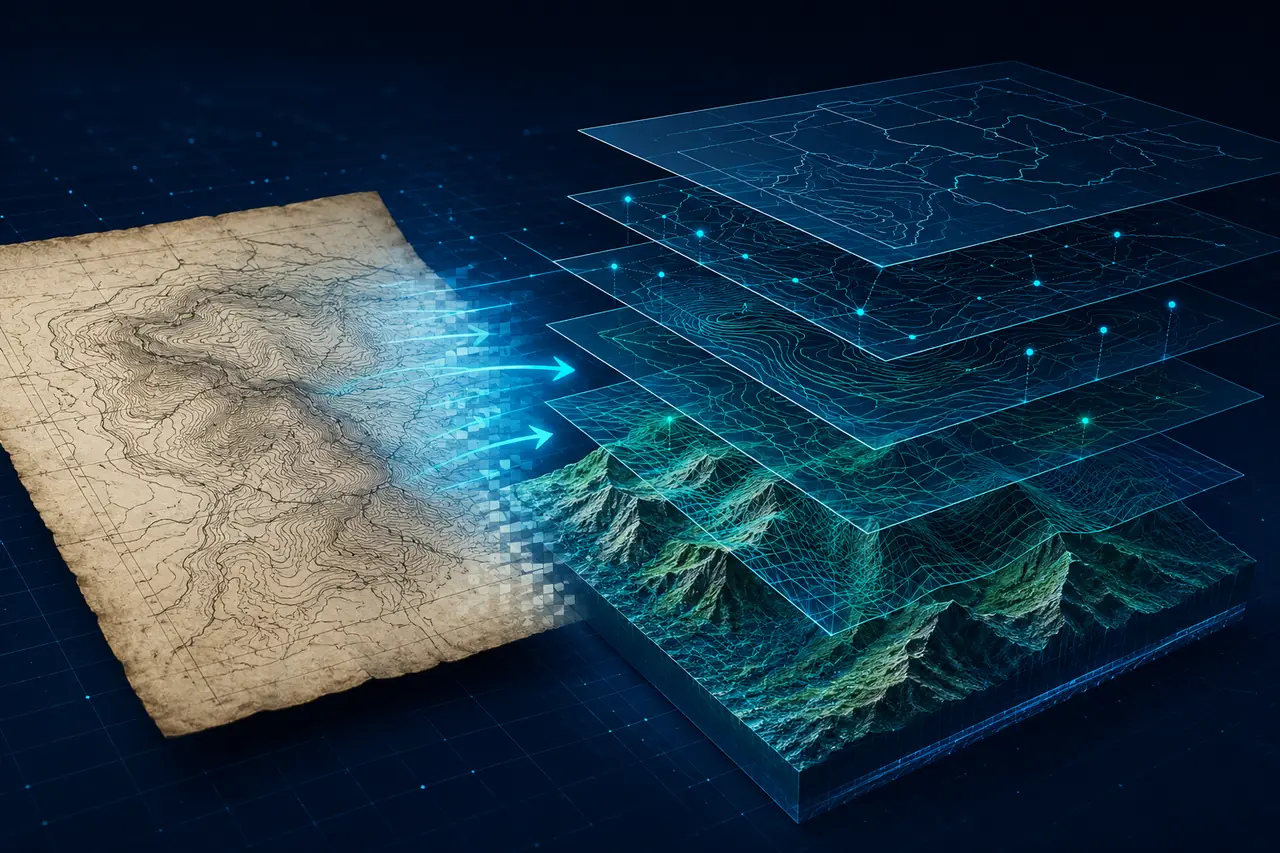 GEOREFERENCEVECTOR LAYERS
WHAT WE HANDLE
Careful technical work, shaped around the source.
Point, line and polygon capture
Structure contour digitization
GIS-ready layer organization
CONTROLLED WORKFLOW
From source review to ready-to-use delivery.
The exact process is adjusted to the source condition, technical specification and required output.
Review map projection and control points
Georeference the source raster
Digitize features into separate layers
Validate geometry, attributes and alignment
TYPICAL DELIVERABLES
Organized outputs for practical technical use.
File structure and formats are confirmed before production begins.
SHP vector layersGeoreferenced TIFF imagesASCII point dataOrganized GIS project folders