CAPABILITIES

Specialist services for complex subsurface data.

From legacy log images to structured digital outputs, each service is shaped around the source document, technical specification and delivery workflow.

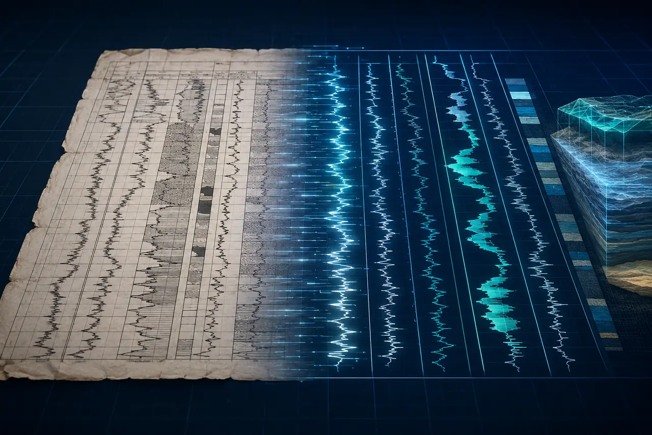
Raster well log converted into depth-indexed digital curves
RASTERDIGITAL CURVES

GR · SP · RES · RHOB · NPHI · DT

Well Log Digitization

Raster-to-vector curve digitization for conventional, composite and specialty well logs.

  • Depth registration and grid alignment
  • Manual and assisted curve tracing
  • Curve naming and scale validation
  • Visual comparison against source raster
Explore this service
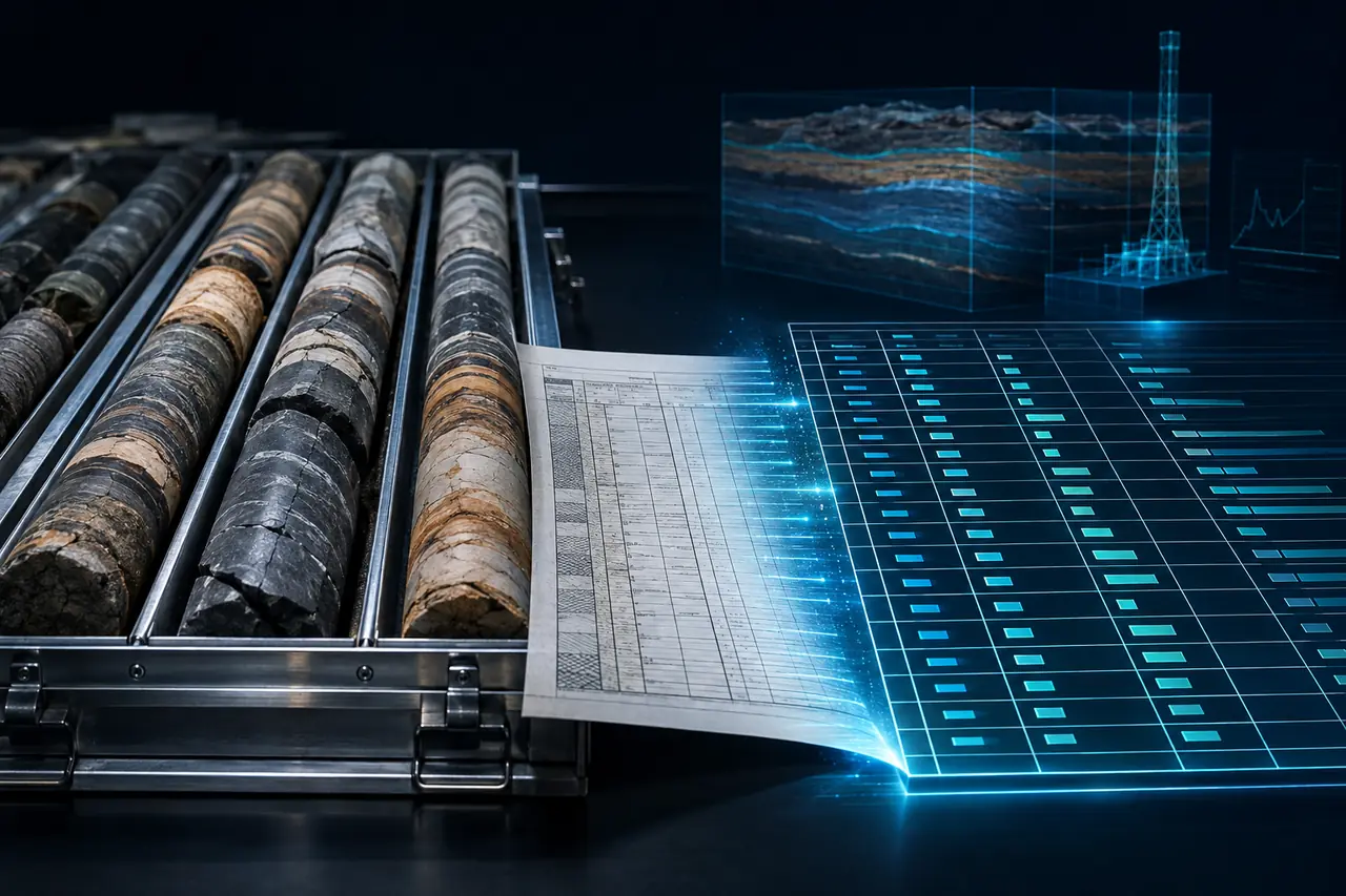
Core analysis records converted into a structured technical table
CORE DATASTRUCTURED TABLE

HEADERS · TABLES · XLSX · ASCII

Core Analysis & Text Capture

Structured capture of headers, tabular results, core sheets and supporting technical text.

  • Header and metadata transcription
  • Core analysis table capture
  • Spreadsheet-ready organization
  • Source-to-output completeness check
Explore this service
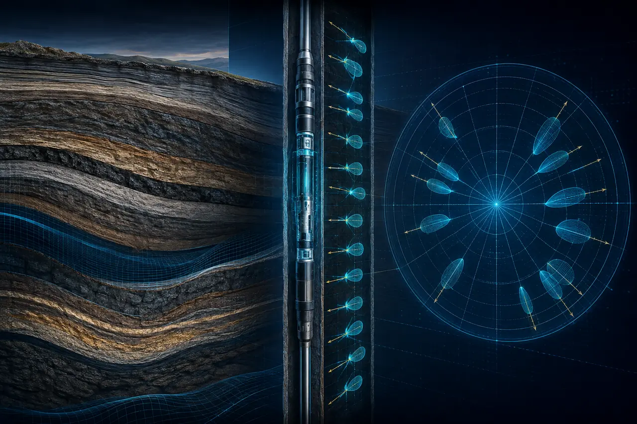
Dipmeter tadpole symbols digitized with depth and orientation
DIP PICKSORIENTATION

SDIP · DEVI · TADPOLE · RPT

Dipmeter & Tadpole

Track-specific digitization of dip, bed-boundary and hole-drift information.

  • True dip and bed-boundary picks
  • Tadpole symbol interpretation
  • Deviation and hole-drift traces
  • Separate track deliverables where required
Explore this service
Mud log drilling gas and lithology tracks aligned by depth
DRILLINGGAS & LITHOLOGY

ROP · TGAS · C1–C5 · LITHOLOGY

Mud Log Processing

Depth-aligned capture of drilling, gas and lithology data from mud logs.

  • ROP and total gas curves
  • C1 to C5 chromatograph gases
  • Lithology descriptions and tracks
  • Depth-controlled output organization
Explore this service
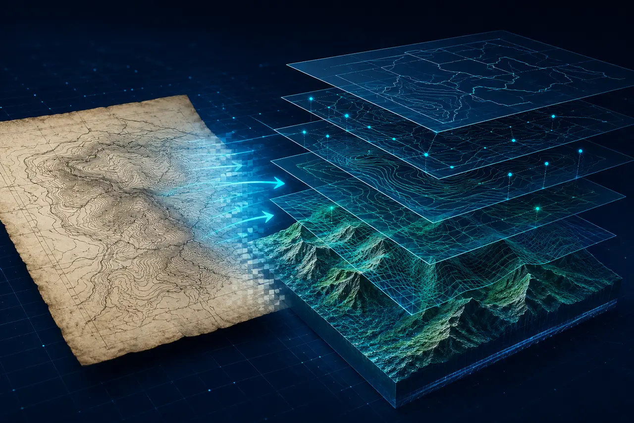
Legacy geological map georeferenced into GIS vector layers
GEOREFERENCEVECTOR LAYERS

SHP · TIFF · ASCII POINT · GIS

GIS & Map Digitization

Georeferencing and vectorization for base, shot-point and structure contour maps.

  • Raster map georeferencing
  • Point, line and polygon capture
  • Structure contour digitization
  • GIS-ready layer organization
Explore this service
Technical well data converted into validated delivery formats
SOURCEVALIDATED OUTPUT

LAS · NLGX · RPT · DLIS · SEGY

Format Conversion & QC

Consistent technical file conversion, naming validation and delivery-level review.

  • Project-specific file packaging
  • Curve and mnemonic validation
  • Output naming consistency
  • Delivery notes and exception reporting
Explore this service

CONSISTENT METHODS

Different source types. One disciplined production standard.

Review the quality process